Photo-guided walking directions
Walking Directions in Shanghai
Shanghai's French Concession and old town hide garden villas, lane houses (nongtang) and small cafes behind tree-lined streets. Crossing the city without speaking Chinese is easier when every turn is photographed. imhere shows you exactly where to go.
Shanghai routes on imhere
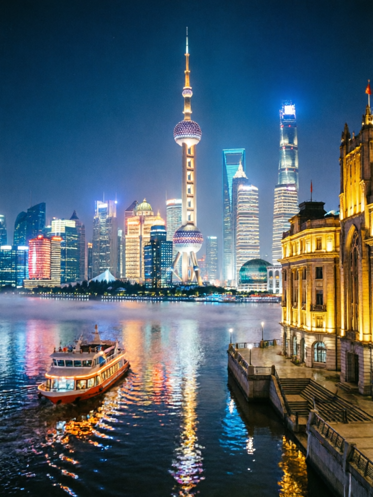
Shanghai Bund Night View Route
View routeHow to navigate Shanghai old town
Start from a metro exit. The photos show the plane trees, the lane gate (nongtang) and the corner bakery - landmarks that work without reading signs. In the old town around Yuyuan, the alleys twist between shikumen houses; follow the photos step by step.
From the airport to Shanghai
From PVG Pudong: Maglev to Longyang Road (~8 min) then metro Line 2, or metro Line 2 all the way (~60 min). From SHA Hongqiao: metro Line 2 or 10 to central Shanghai (~30-40 min). Save an imhere route from your metro stop for the final walk through the lanes to your hotel.
Frequently asked questions
How does imhere work?
Every route is a series of step-by-step photos with short directions. Open the route at your pickup point, then follow each photo.
Do I need GPS in Shanghai?
No. Follow the photos of lanes, trees and landmarks - no Chinese needed.
Can I use it without speaking Chinese?
Yes. This is exactly what imhere is for: navigate China without Chinese, using photos instead of words.
Is imhere free?
Viewing routes is free. Creating and sharing your own routes uses a small number of points, earned by registering and viewing routes.
Own a business in Shanghai?
Guests get lost at your door? Create a photo route from the station or landmark straight to your shop - and share the link in your booking messages, bio, or a QR code by the door.