Photo-guided walking directions
Walking Directions in Rome
Rome is a city built on layers - medieval alleys hide between ancient ruins, and two streets with the same name can be blocks apart. imhere's photo routes guide you step by step through Trastevere, Campo de' Fiori and the lanes around the Pantheon.
Rome routes on imhere
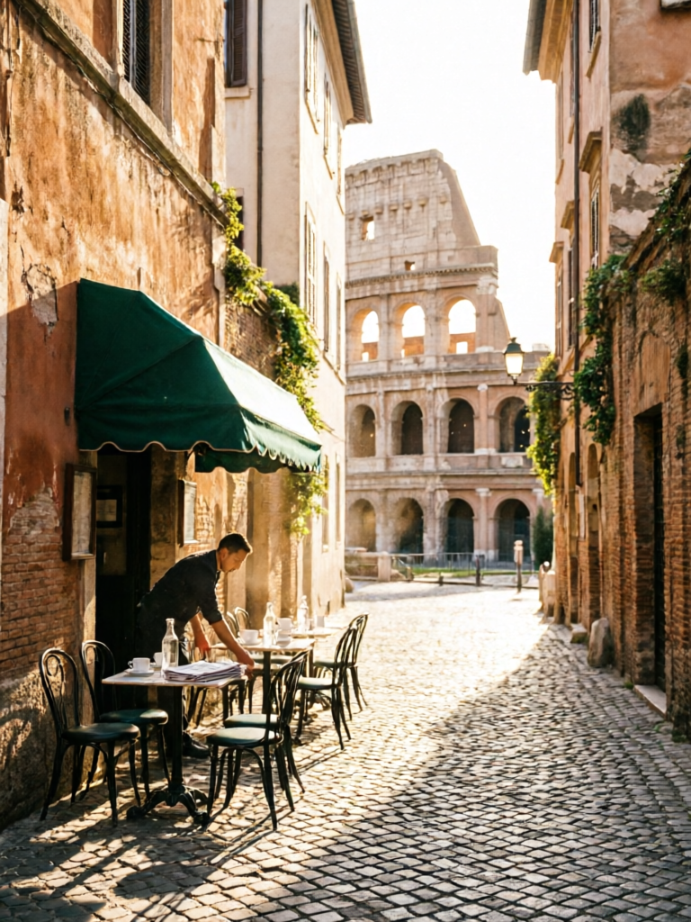
Ancient Rome Walk
View routeHow to navigate Rome old town
Pick a route from the square or create your own from your hotel. Each step shows a real photo of the corner or landmark ahead. In Rome's older districts, look for the small fountain or the faded shop sign in the photo to confirm your turn.
From the airport to Rome
From Fiumicino (FCO): take the Leonardo Express to Termini (~32 min), then metro or walk. From Ciampino (CIA): bus to Termini (~40 min). Save an imhere route for the walk from your metro stop to your apartment - the final 500 metres are often the hardest.
Frequently asked questions
How does imhere work?
Every route is a series of step-by-step photos with short directions. Open the route at your pickup point, then follow each photo to the next.
Do I need GPS in Rome's old town?
No. The photo steps replace GPS - follow the pictures of each corner, alley and landmark.
Does it work offline?
Yes. Once opened, routes work offline - handy in Roman cellars and narrow alleys with no signal.
Is imhere free?
Viewing routes is free. Creating and sharing your own routes uses a small number of points, earned by registering and viewing routes.
Own a business in Rome?
Guests get lost at your door? Create a photo route from the station or landmark straight to your shop - and share the link in your booking messages, bio, or a QR code by the door.