Photo-guided walking directions
Walking Directions in Amsterdam
Amsterdam's Jordaan is a web of canals, narrow streets and secret courtyards (hofjes) hidden behind unmarked doors. The bridges look identical and the canal ring repeats. imhere photographs each bridge and corner so you always find your way.
Amsterdam routes on imhere
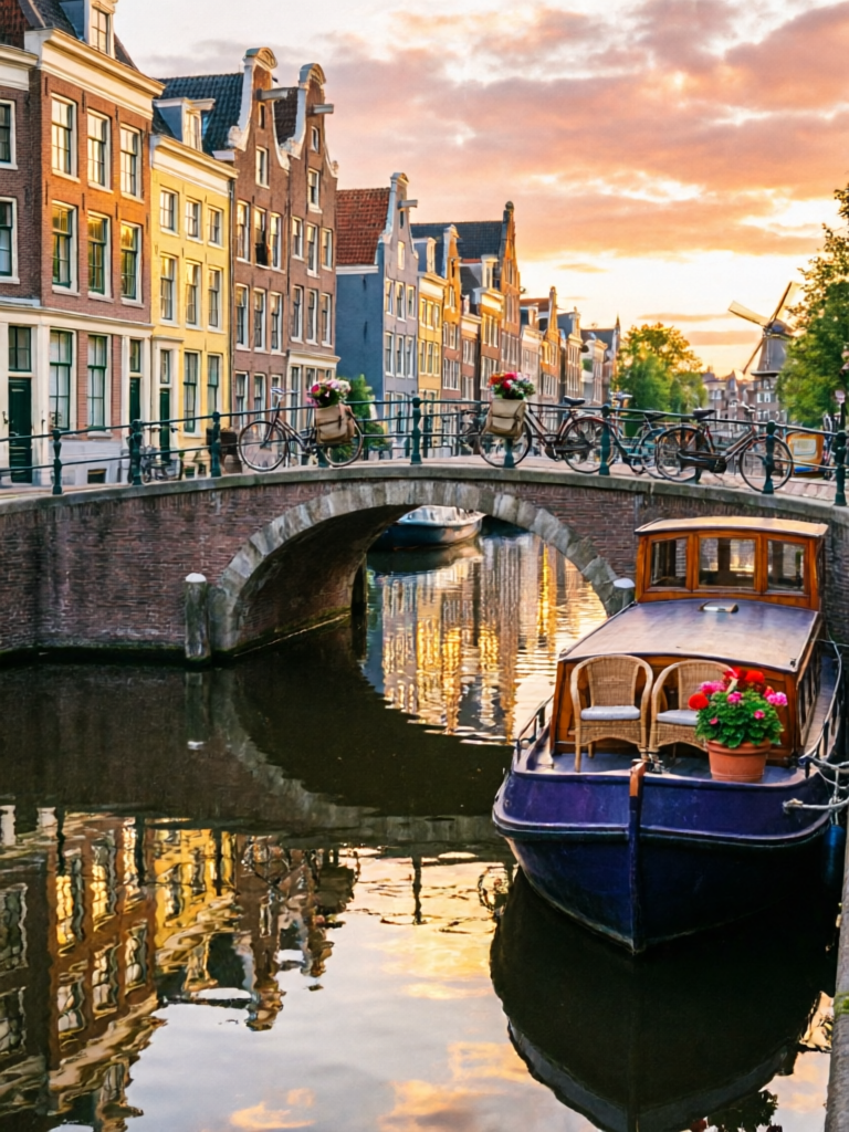
Amsterdam Canal Ring Route
View routeHow to navigate Amsterdam old town
Start from a tram stop or a canal landmark. Follow the photos past the hofje gates, the houseboats and the brown cafes. At the canals, the photo of the bridge railing or the leaning house tells you which of the identical bridges to cross.
From the airport to Amsterdam
From AMS Schiphol: NS train to Amsterdam Centraal (~15 min), then tram, or the Airport Express bus 397. Save an imhere route from Centraal or your tram stop for the final walk along the canals to your hotel.
Frequently asked questions
How does imhere work?
Every route is a series of step-by-step photos with short directions. Open the route at your pickup point, then follow each photo.
Do I need GPS in Amsterdam?
No. The identical bridges and hofjes confuse GPS; photos of railings, doors and houseboats guide you.
Does it work offline?
Yes. Routes work offline once opened.
Is imhere free?
Viewing routes is free. Creating and sharing your own routes uses a small number of points, earned by registering and viewing routes.
Own a business in Amsterdam?
Guests get lost at your door? Create a photo route from the station or landmark straight to your shop - and share the link in your booking messages, bio, or a QR code by the door.