Photo-guided walking directions
Walking Directions in London
London's old lanes were made for horses, not phones. The City hides Roman walls behind office blocks, Covent Garden's arcades double back, and Soho's alleys change name mid-street. imhere shows you the exact photo at every turn.
London routes on imhere
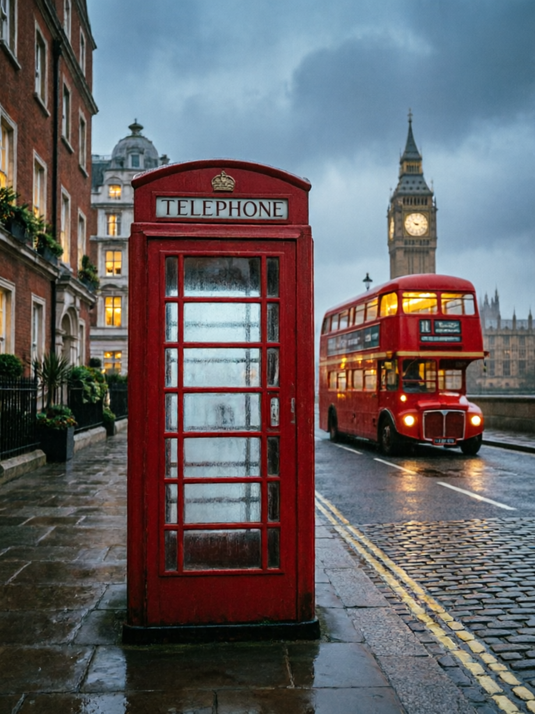
Classic London Walk
View routeHow to navigate London old town
Start at a Tube station or famous landmark. Follow each photo step - in the City, look for the blue plaque or the pub sign in the picture. Routes work offline, so you can save data for the journey home.
From the airport to London
From Heathrow: Elizabeth line to Paddington (~30 min) or Piccadilly line (~50 min). From Gatwick: Gatwick Express to Victoria (~30 min). From Stansted: Stansted Express to Liverpool Street (~50 min). Save an imhere route for the final walk from the station to your hotel through the streets.
Frequently asked questions
How does imhere work?
Every route is a series of step-by-step photos with short directions. Open the route at your pickup point, then follow each photo.
Do I need GPS in London?
No. The photos show the exact corners, alleys and landmarks to follow.
Does it work offline?
Yes. Routes work offline once opened - ideal underground and in narrow mews.
Is imhere free?
Viewing routes is free. Creating and sharing your own routes uses a small number of points, earned by registering and viewing routes.
Own a business in London?
Guests get lost at your door? Create a photo route from the station or landmark straight to your shop - and share the link in your booking messages, bio, or a QR code by the door.