Photo-guided walking directions
Walking Directions in Bangkok
Bangkok's old city and Chinatown are a web of sois (lanes) where addresses mean nothing and the map keeps losing you. Between the Grand Palace, Wat Pho and the riverside, the alleys are full of food stalls and hidden temples. imhere photographs each turn.
Bangkok routes on imhere
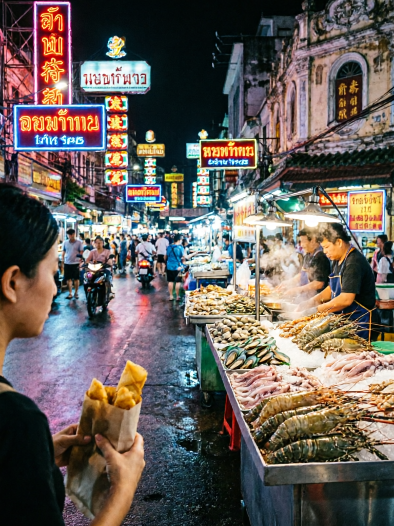
Bangkok Chinatown Food Trail
View routeHow to navigate Bangkok old town
Start from a pier, MRT or BTS stop. Follow the photos down the soi - look for the street food cart or the shrine shown in the picture. In Chinatown, the gold shops are the landmarks; the photos show exactly which alley to take.
From the airport to Bangkok
From BKK Suvarnabhumi: Airport Rail Link to Phaya Thai (~30 min) then BTS, or taxi (~40 min). From DMK Don Mueang: SR Red Line to Bang Sue, or taxi. Save an imhere route from the station or taxi drop-off for the final walk into the sois.
Frequently asked questions
How does imhere work?
Every route is a series of step-by-step photos with short directions. Open the route at your pickup point, then follow each photo.
Do I need GPS in Bangkok's sois?
No. The photos of street stalls, shrines and alley corners guide you without GPS.
Can I use it without speaking Thai?
Yes. The photos need no translation, and directions come in multiple languages.
Is imhere free?
Viewing routes is free. Creating and sharing your own routes uses a small number of points, earned by registering and viewing routes.
Own a business in Bangkok?
Guests get lost at your door? Create a photo route from the station or landmark straight to your shop - and share the link in your booking messages, bio, or a QR code by the door.