Photo-guided walking directions
Walking Directions in Istanbul
Istanbul's historic peninsula is a wonderful tangle of bazaars, steep streets and secret courtyards. Between the Hagia Sophia, the Blue Mosque and the Grand Bazaar, the lanes all look alike. imhere photographs every turn so you always know which way is home.
Istanbul routes on imhere
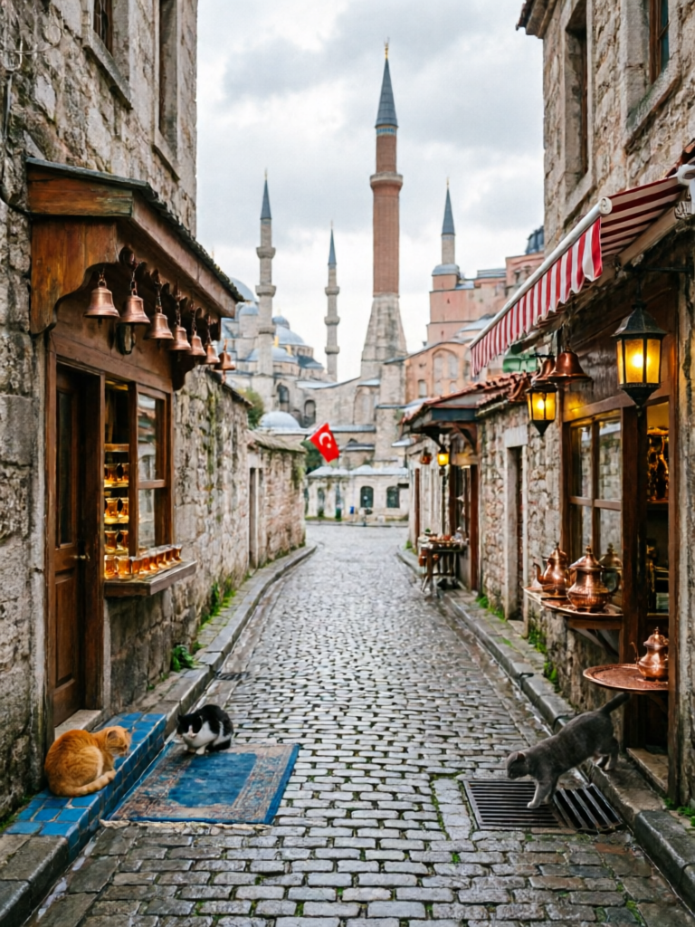
Istanbul Old City Tour
View routeHow to navigate Istanbul old town
Begin at a well-known pickup point - the tram stop, the mosque entrance, the fountain. Each photo shows the exact corner to take. Inside the Grand Bazaar, follow the photo of the shop front rather than trying to remember row numbers.
From the airport to Istanbul
From Istanbul Airport (IST): metro M11 to Gayrettepe then M2, or Havaist bus (~90 min). From Sabiha Gokcen (SAW): metro M4 to Ayrilik Cesmesi then Marmaray (~70 min). Save an imhere route for the last stretch from the tram stop into the old city lanes.
Frequently asked questions
How does imhere work?
Every route is a series of step-by-step photos with short directions. Open the route at your pickup point, then follow each photo.
Do I need GPS in Istanbul?
No. imhere uses real photos of corners and landmarks, so you navigate by sight - reliable in narrow lanes and under covered bazaars.
Can I use it without speaking Turkish?
Yes. The directions are simple, and the photos need no translation. Routes are available in multiple languages.
Is imhere free?
Viewing routes is free. Creating and sharing your own routes uses a small number of points, earned by registering and viewing routes.
Own a business in Istanbul?
Guests get lost at your door? Create a photo route from the station or landmark straight to your shop - and share the link in your booking messages, bio, or a QR code by the door.